FUTURE PLANS
On this page I'll let you know what is planned for the release version (soon)
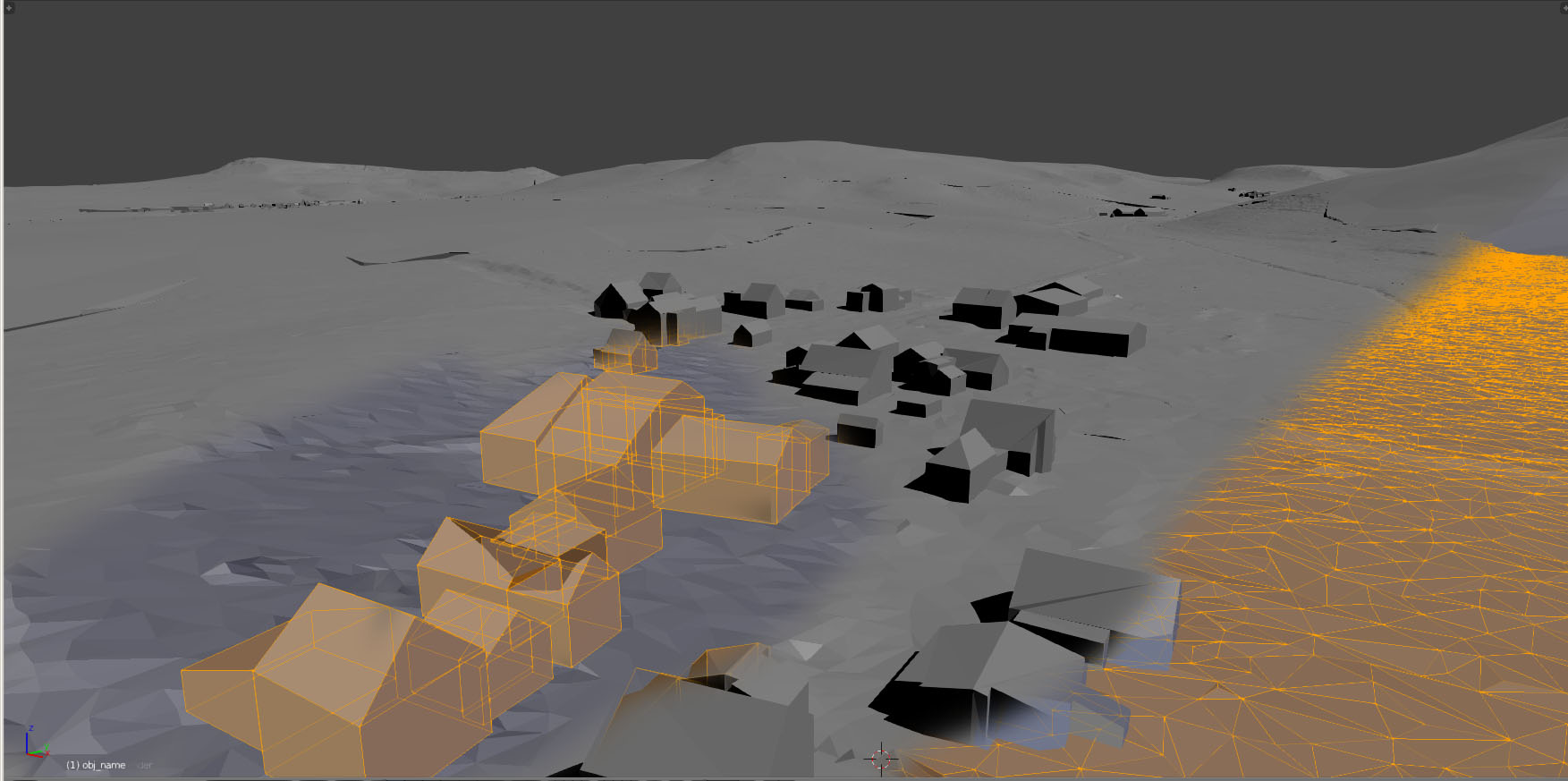
For now I have to tell you that the Free State of Thuringia (the State I live in) just released their OPEN DATA.. This dataset contains raw airborne laserscan data as well as processed pointclouds that just contain the clean surface without trees etc. in an about 2 Meter resolution. Also you can find 3D buildings, vegetetion data, high-res pictures... for the whole state.
I'll create some screenshots to show you some examples of this data soon.
There you go! You can see the buildings and a simplified ground mesh based on the data provided in OPEN DATA.
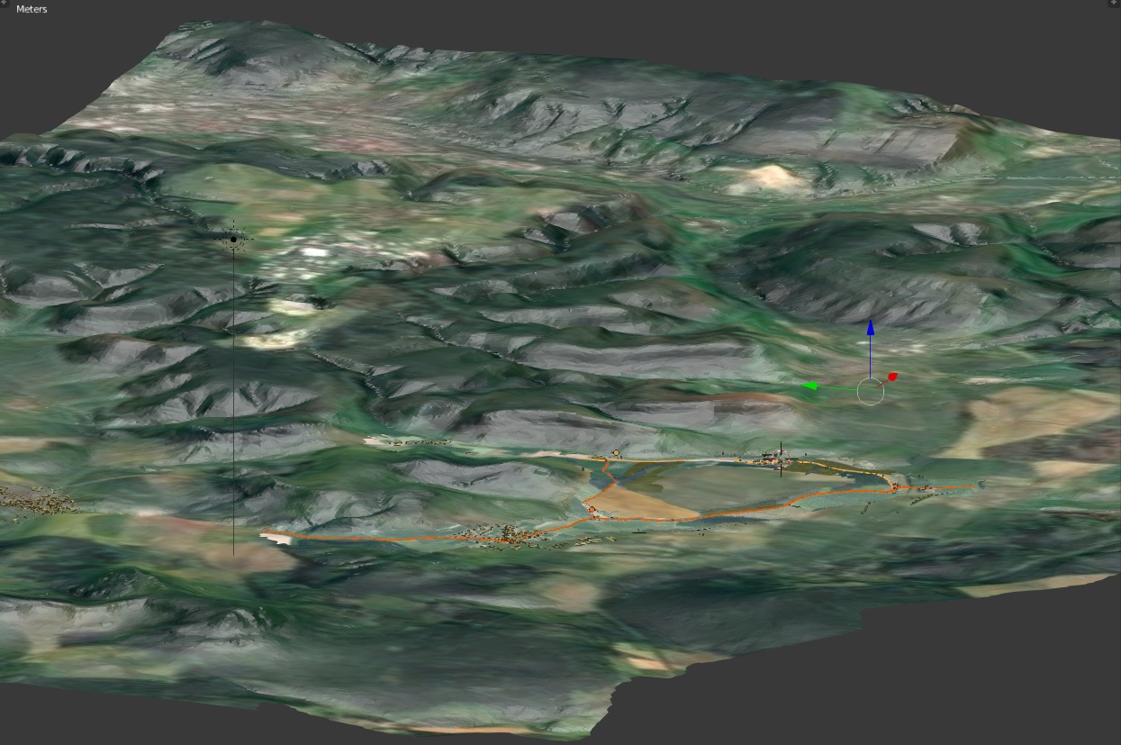
AAAAND we could create a nice open-world map that contains the other WPs. Who is we? I don't know. But imagine a huge geo-referenced project, it would be easy for a community to add geo-referenced models. Here is what the new 15 x 15 km area looks like. It should contain all WPs of Landsberg Rally.
Wanna help? Let me know: info@ichcheckdem.net. You also can use the official forum post at Race Department to contact me.